Your Cart is Empty
free shipping on all domestic orders over $75
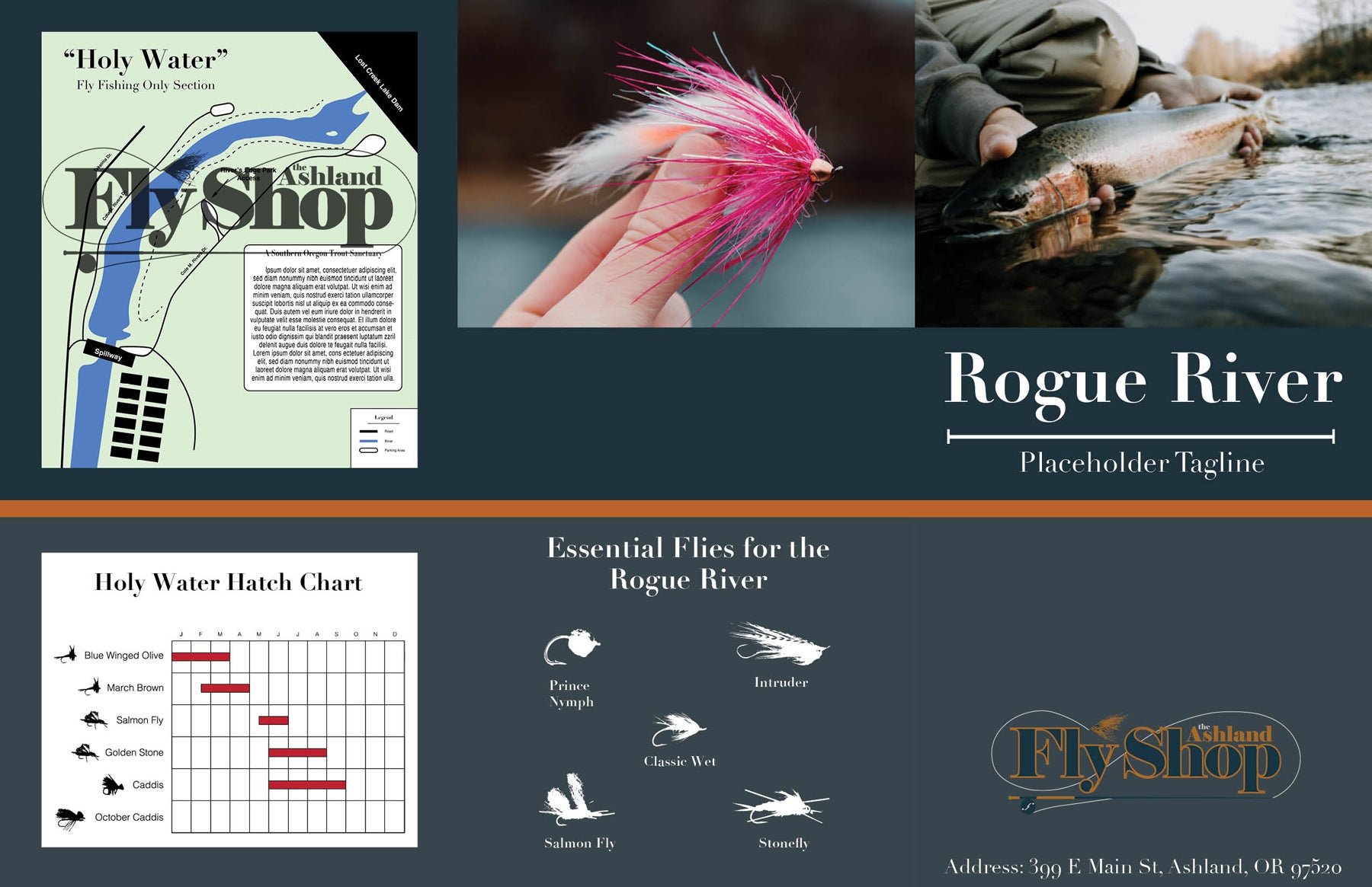
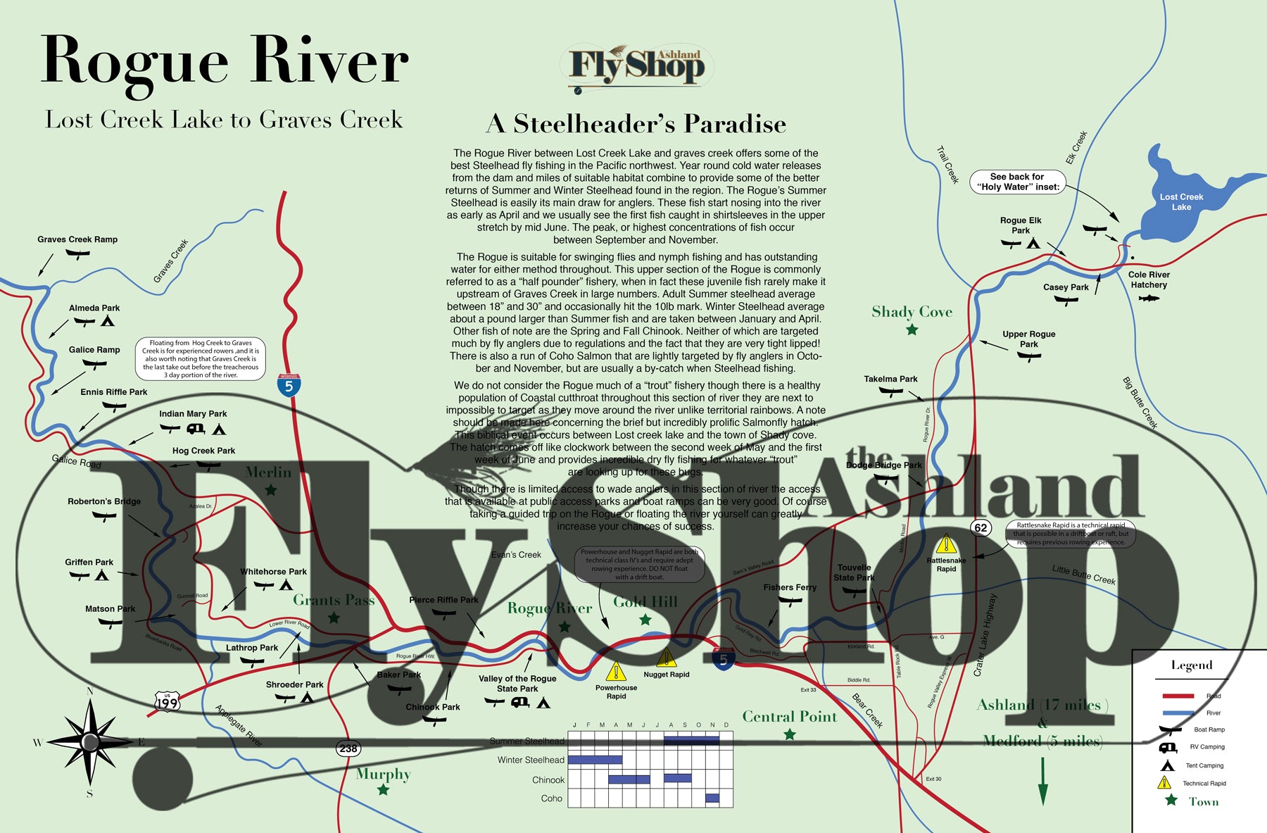


After years of Rogue River maps that just didn't quite meet our standards we decided to create our own! The AFS Rogue River map starts at Lost Creek Lake and ends at Graves Creek with a separate section to highlight the Holy Water between the Dam and the Hatchery.
Our map includes:
(Images are watermarked for copyright purposes)
Huge shoutout to AFS staffer Sean Connors for putting this awesome map together!
Collections: Essentials